
Geophysics
Geophysical surveys applied to Engineering, Environmental Characterization and Pollutants Localization, Natural Resources and Hydrogeology, Archeology and Structures Analysis.
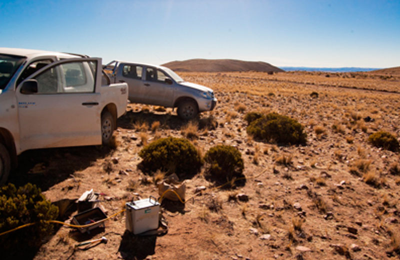
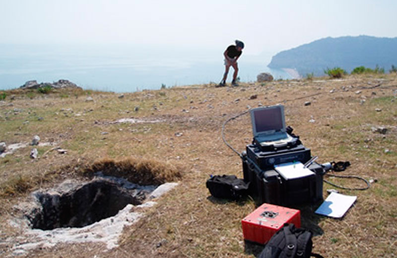
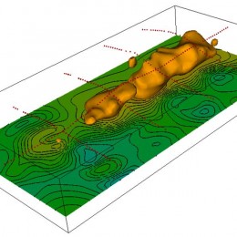
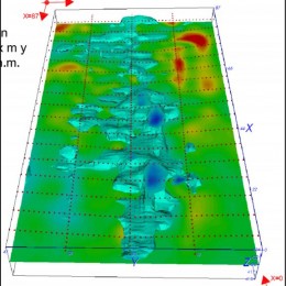
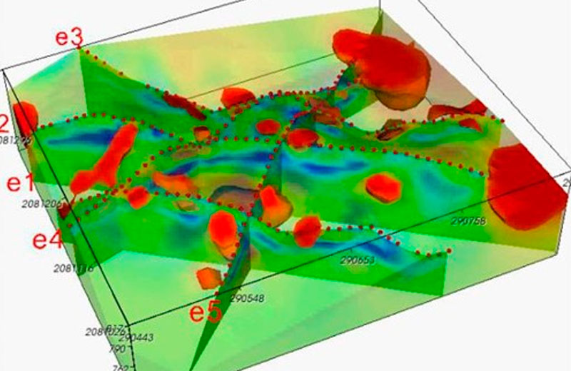
Realizing geophysical investigations in a wide range of projects E.G.G. has developed the necessary experience in planning, acquiring and interpreting of the main geophysical methods: 2D and 3D geoelectrical surveys, seismic refraction and reflection, seismic down-hole and cross-hole, Georadar, among others.
SERVICES

Methods and Applications
The experience accrued during over 15 years of geophysical studies has allowed E.G.G. to achieve high quality standards. E.G.G. utilizes advanced technologies for the acquisition instruments and data processing software that, with a proven experience, allow us providing reliable results. The collaboration with some of the most important engineering firms and construction companies allowed us to acquire strong experience in the main application fields of geophysics: civil engineering and construction, environmental characterization, natural resources, archeology and structures analysis.

Geophysical Methods
E.G.G. is specialized in various methodologies:
- Seismic refraction
- Seismic reflection
- Hybrid Seismic
- MASW and REMI
- TSP and VSP
- Seismic Down-hole and Cross-hole
- 2D and 3D geoelectrical tomography
- Georadar
- Thermal resistivity
Civil Engineering and Construction
In the field of design and construction of civil works the geophysical methods can be applied in a wide range of possibilities:
- Buildings, bridges, dams, etc. foundations
- Tunnels layout characterization
- Pipe-lines, railways, roads, etc. layout characterization
- Excavation design
- Seismic assessment of the subsoil
- Structural analysis of existing structures
- Structural verification
- Monitoring
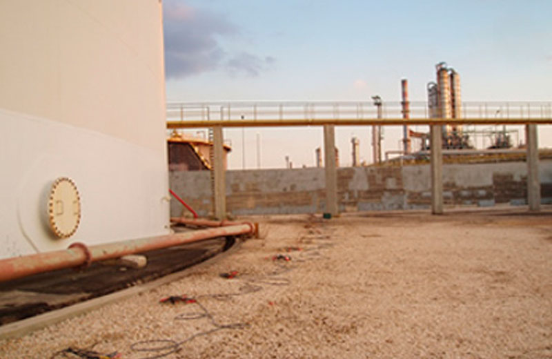
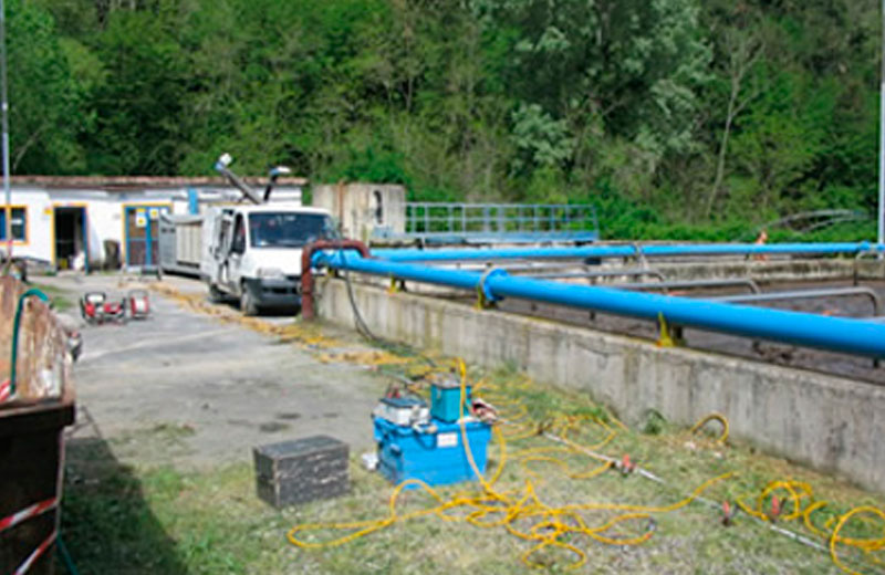
Environmental Characterization
Geophysics is a strategic indirect investigation method in all environmental characterization projects:
- Locating of polluting substances
- Definition of contaminant plume extension
- Evaluation of volumes of solide waste in landfill sites
- Structural verification of landfill sites
- Structural verification of impermeable diaphragms
- Monitoring of contaminants propagation
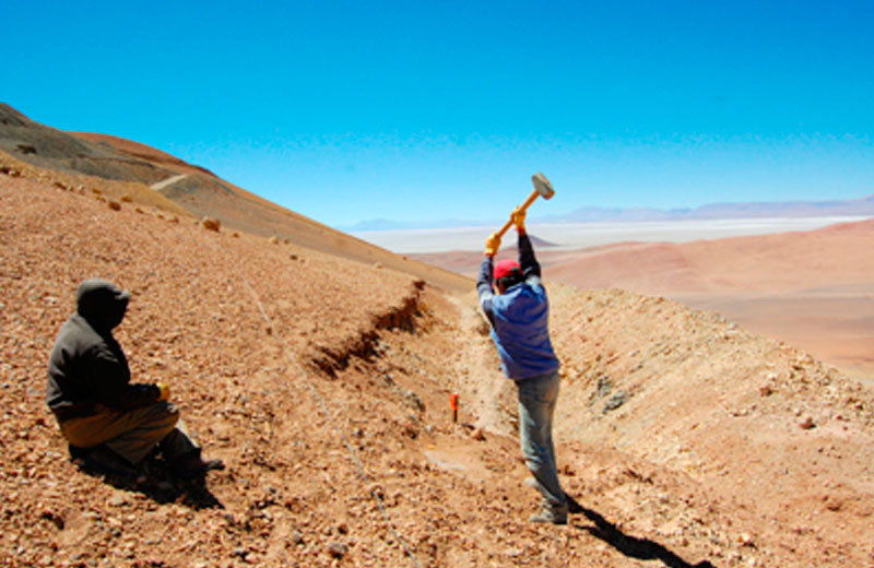
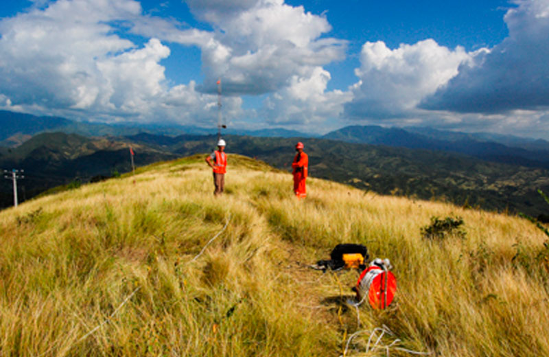
Natural Resources
Geophysics is one of the fundamental stages of locating and evaluating natural resources:
- Geological assessment of the reservoir
- 2D and 3D geometry definition of the fluid resource reservoir (hydric, thermal, etc.
- 2D and 3D geometry definition of the solid resource reservoir
- Evaluation of the potential exploitable solid resource
- Locating of geological structures potentially productive (faults, intense fracturation, etc.)
Archeology and Structures Analysis
Geophysics is a very useful tool in locating buried structures or utility networks and can be used to define some structural characteristics:
- Locating of buried structures in archeology
- Analysis of building materials of existing structures (tickness, degree of wear and tear, etc.)
- Locating and mapping of network utilities
- Structural evaluation (concrete, pillar, asphalt, etc.)