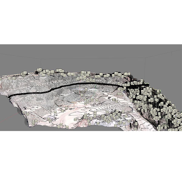
Photogrammetry, Topography and GIS
SGG is specialized in drones photogrammetry survey, photogrammetry, and remote sensing interpretation
Furthermore, to complete services associated to photogrammetry, we can perform any kind of topographic survey, with GPS RTK, and create GIS models for many kind of purposes
- Professional drones photogrammetric surveys.
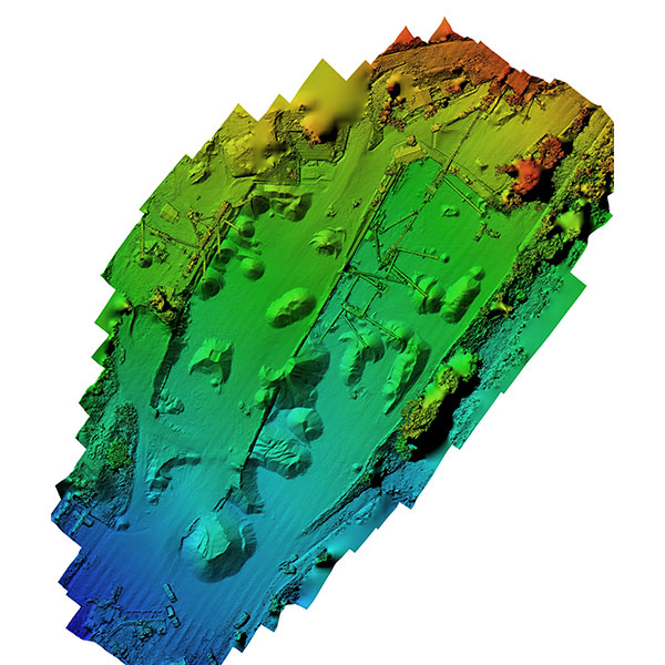
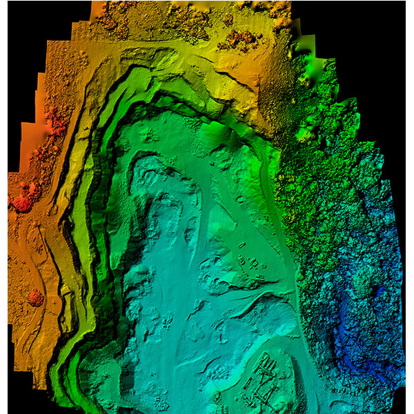
- 3D topographic modeling: DEM, elevation contours, ortophotos.
- Thematic photogrammetry interpretation: geology, geomorphology, hydrogeology, etc…
- Aerial photographic and satellite imagery interpretation.
- High detail GPS RTK topographic survey.
- Thematic cartography and GIS digitalization.
The strong experience achieved by EGG Consult in the wide range of realized projects, allow us to provide photogrammetry, topographic and GIS services for different purposes:
- Mine excavation and landfill monitoring.
- Big works construction monitoring (road, dams, canals, rivers, etc…).
- Geomorphology hazard monitoring: rock fall, landslide, erosion, fluvial evolution.
- Thematic cartography elaboration for any kind of application.
- GIS modeling for any kind of application.
- Topography modeling with DEM restitution.
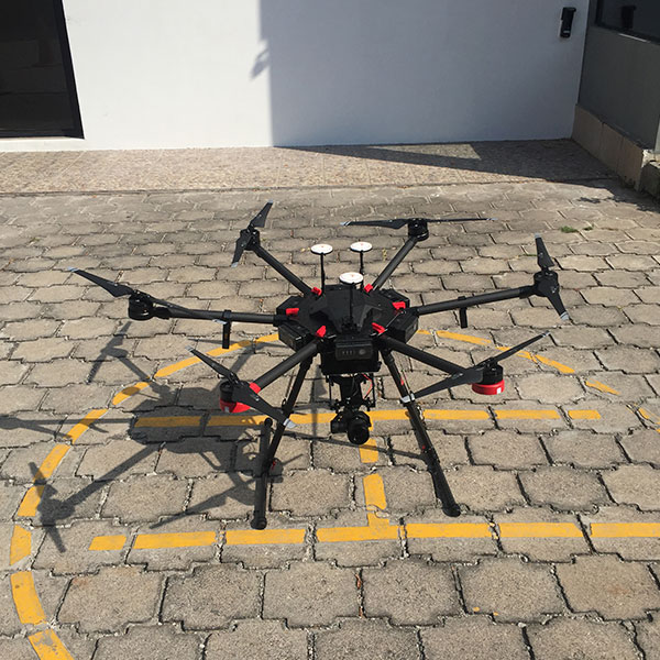
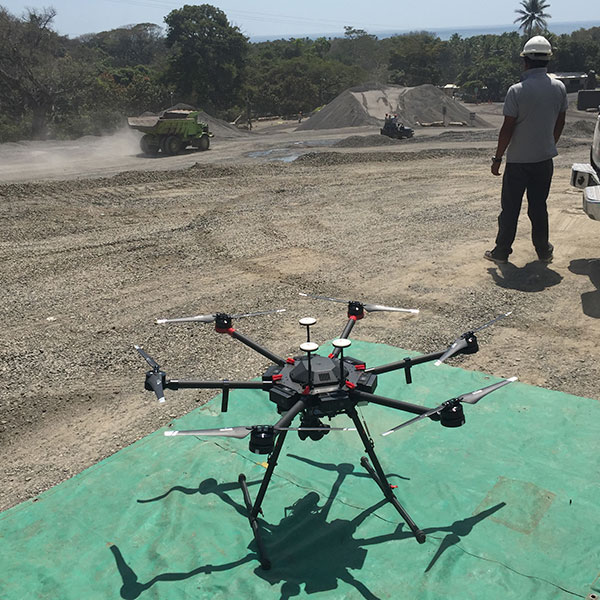
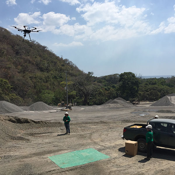
Professional drone (UAV) surveys allow us to provide a wide range of services applied to different purposes, associated to short time acquisition, inaccessible area risk reduction, high detail modeling.
GEOLOGY
- Geological cartography support.
- Landslide and instability monitoring.
- Erosion and rock fall monitoring.
- Hydrogeological monitoring.
MONITORING
- Excavation, landfill and mine monitoring.
- Construction site and work progress monitoring.
- Environmental remediation monitoring.
STRUCTURAL INSPECTION
- Construction industry support surveys.
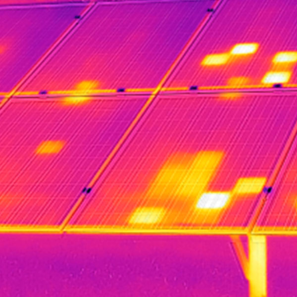
- Solar photovoltaic and power lines inspection with thermal-camera.
- Buildings, bridges, wind turbine and blade, etc… maintenance inspection.
- Architectonic inspection of monuments, historical buildings and archeological sites.
AGRICULTURE DRONE PRECISION
- Still image cameras
- Video
- Multispectral: Identify nutrient deficiencies, pest damage, fertilizer needs and water quality.
- Hyperspectral: Used to analyze plant nutrients, plant diseases, water quality, and mineral and surface chemical composition.
- Thermal: Track the surface temperature of land and plants